
Tracing a Shelton Street Address
Street-by-street research in Shelton is strongest when the address stays fixed while the record type changes. A parcel search can identify the current situs and an assessed owner. It does not, by itself, prove who sleeps there. The deed index records parties to land instruments, the voter system supplies a limited registration clue, and a historical directory may name a subscriber or household at an earlier date. Fairfield County is the geographic setting, not the place to send a deed request: Connecticut has no active county recorder or county clerk. Start with the municipal and state custodians that actually hold each layer.
- Enter the house number and street in Shelton MapXpress, or begin with an owner name or map/lot when the street number is uncertain. Save the situs, map/lot and source date.
- Open the Shelton interactive GIS viewer. Select the parcel, note the adjacent polygons and road frontage, then record the layers that explain the block.
- Move from the parcel lead to the Shelton City/Town Clerk and the SearchIQS land-record route. Search the owner as both grantor and grantee, and keep the instrument date and legal description with the result.
- Use the Shelton Registrar of Voters and the state lookup for a narrow registration question. The public interface has an inspection gap, and a street clue is not a complete public roster.
- Finish with the library, FamilySearch catalog and regional numerical or criss-cross directories for older households. Match the name and address to a deed, map or dated notice before treating it as the same person.
The result is a chain of evidence, not a single answer. That chain is the useful center of a Shelton street directory, not a claim that every record describes the same person. If the goal shifts from a whole street to one person, compare the record roles before following a separate resident lookup. If the goal is an older address, keep Shelton, Huntington and Stratford in the search terms.
Shelton Street Directory Records
Several Shelton custodians can be searched with an address, but they do not describe the same thing. The assessor and MapXpress connect a house number to a parcel and assessed-owner record. The GIS viewer adds geometry and land-use context. The City/Town Clerk and SearchIQS preserve recorded instruments. Permits date work at a location, while voter and directory material can add a person or household clue with tighter limits.
| Address-keyed source | Keeper | What it can show | Access route |
|---|---|---|---|
| Property and tax context | Shelton Assessor / MapXpress | House number, street, owner-name lead, map/lot and current assessment context | MapXpress search; assessor office for questions |
| Parcel and land layers | Shelton GIS / MapXpress | Adjacent parcels, roads, zoning, flood, wetland, aerial and sales layers | Free viewer with Select, Print Map and View Legend tools |
| Deeds, mortgages and liens | Shelton City/Town Clerk / SearchIQS | Grantor, grantee, instrument type, recording placement and past land parties | Guest or account route online; clerk inspection and copies |
| Building, zoning and engineering permits | Shelton departments / ViewPoint | Addressed project categories, application dates and approval steps | Online categories; department or narrow records request when needed |
| Registration clue | Shelton Registrars / SOTS | Town and election geography, with limited public voter information | State lookup, registrar channels and statutory request rules |
| Historical address evidence | Plumb Memorial, FamilySearch and regional collections | Numerical or street entries, names, subscribers and past address wording | Library help, catalog search, microfilm and in-person research |
There is no Fairfield County deed counter to fill gaps in this table. For current land records, the municipal clerk is the custodian. For state-controlled voter, court or vital material, use the relevant Connecticut portal. A parcel number or map/lot is often the best bridge between systems, while a street name alone can change in an old directory or map.
Note: A Shelton address can link several record trails, but each trail still needs its own custodian, date and access rule.
MapXpress Fields for Shelton Streets
MapXpress property search offers four useful starting fields. The owner-name box can produce a parcel lead, while house number and street are the direct by-address route. Map/lot is the stronger key when an old street label, corner parcel or uncertain number makes a name-only search risky. The field capture below preserves what the Shelton portal actually exposes.
| Field label | Type | Required | Options or format notes |
|---|---|---|---|
| Property Search Name | Text | Optional | Owner-name search; the screen shows Smith as an example. |
| House No | Text | Optional | Address number; the portal does not state one exact format. |
| Street | Select | Optional | Shelton street selection; the full option list was not exposed in static text. |
| Map Lot | Text | Optional | Map/lot identifier; the example shown is 117B 73. |
| Search | Control | Action | Use the on-screen search trigger; its accessible label was not captured. |
The portal notice says parcel boundaries were updated in January 2026, ownership and sales are updated nightly, and the display contains about 16,398 parcels. Those are useful source-date notes, not a promise that every result is a current occupant. The MapXpress disclaimer also says the map is a convenience tool rather than a substitute for Shelton offices. When a result matters, carry the map/lot to the assessor or clerk.
Shelton Street GIS Layers
The Shelton GIS viewer turns a street search into a parcel-and-context check. Select a parcel and open Parcel Information when available. Then note the neighboring map/lots, frontage and source date before turning on extra layers. A corner parcel may touch another road, water, a railroad or a town boundary, so adjacent geometry is more reliable than assuming the next street number is the next neighbor.
The Shelton GIS parcel viewer source image shows the map workspace and its parcel-selection route.
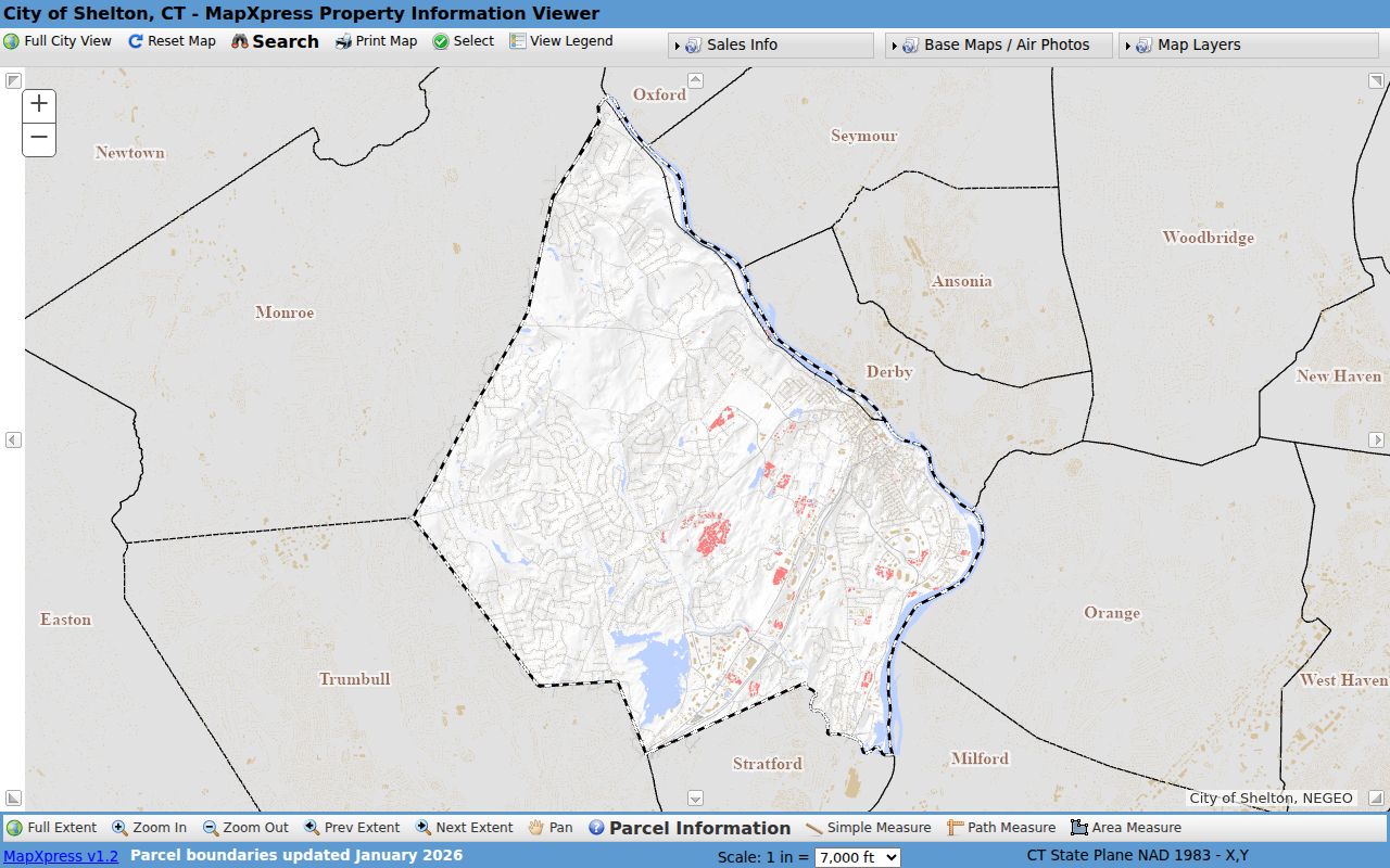
The viewer's map view gives the block a spatial frame before the owner and deed checks begin.
The layer tree includes Shelton zoning, Current FEMA Mapping, DEEP aquifer, hydrography, wetlands, natural-diversity, water-quality and farmland-soils layers. Contours from CT 2023 and aerial choices from 2006, 2013, 2016, 2019 and 2023 help compare the built landscape over time. Sales Information is grouped by grand-list year, with GLY 2021 through GLY 2025 colors. Select, Print Map, View Legend and measurement tools make a source-dated map note reproducible, but a print view is not a certified survey.
The map supplies geography, not a people list. Use the parcel geometry to choose which records to check next, then confirm an owner through MapXpress, the assessor or a deed. Do not turn a zoning, flood or wetland layer into a claim about a household.
Note: A parcel edge can cross a road, water feature or boundary, so record the relationship instead of guessing who lives next door.
Four Keys in a Shelton Street Search
Address words carry different meanings in a Shelton record. Keeping them separate prevents a mailing label or old directory entry from being mistaken for the physical parcel. The same discipline helps when a deed uses a legal description or when a regional directory groups Shelton with Ansonia, Derby and Seymour.
- Parcel
- A mapped unit of land tied to a map/lot and property record. It is a land key, not a list of every person connected with the site.
- Situs address
- The physical location used by the assessor or GIS map. It can differ from the mailing address used for tax notices.
- Plat
- A recorded or working map that depicts land lines, lots or related features. Check the clerk or map record when a plat matters to identity.
- Criss-cross directory
- A historical address route that moves from a street or numerical entry toward a name. The cataloged 1931 regional volume explicitly includes a numerical section, but its full page layout remains unverified.
- Map/lot
- The parcel identifier used in MapXpress and land-record research. It is usually a steadier join key than a street spelling alone.
For an old Shelton address, write down the exact wording, the post-office label and the town name. A legal description, map reference or nearby rail, river or canal feature may tie an older record to a modern parcel even when the number does not line up.
Deed History Along Shelton Streets
The Shelton SearchIQS route is the online starting point for land-record history, while the City/Town Clerk remains the local custodian and counter fallback. The coverage sheet places land-record index data from January 3, 1944, and land-record images from August 24, 1978. Maps begin in 2013, trade-name records in 1991 and foreclosure records in 2015. A 1944 index hit therefore does not guarantee that an image opens online.
The Shelton SearchIQS landing route shows a guest-search path, account options and a records-available link. The unattended capture did not expose the guest result fields, so the clerk is the place to confirm older books, copies and image access. The source image shows the route a researcher reaches before searching the land-record index.
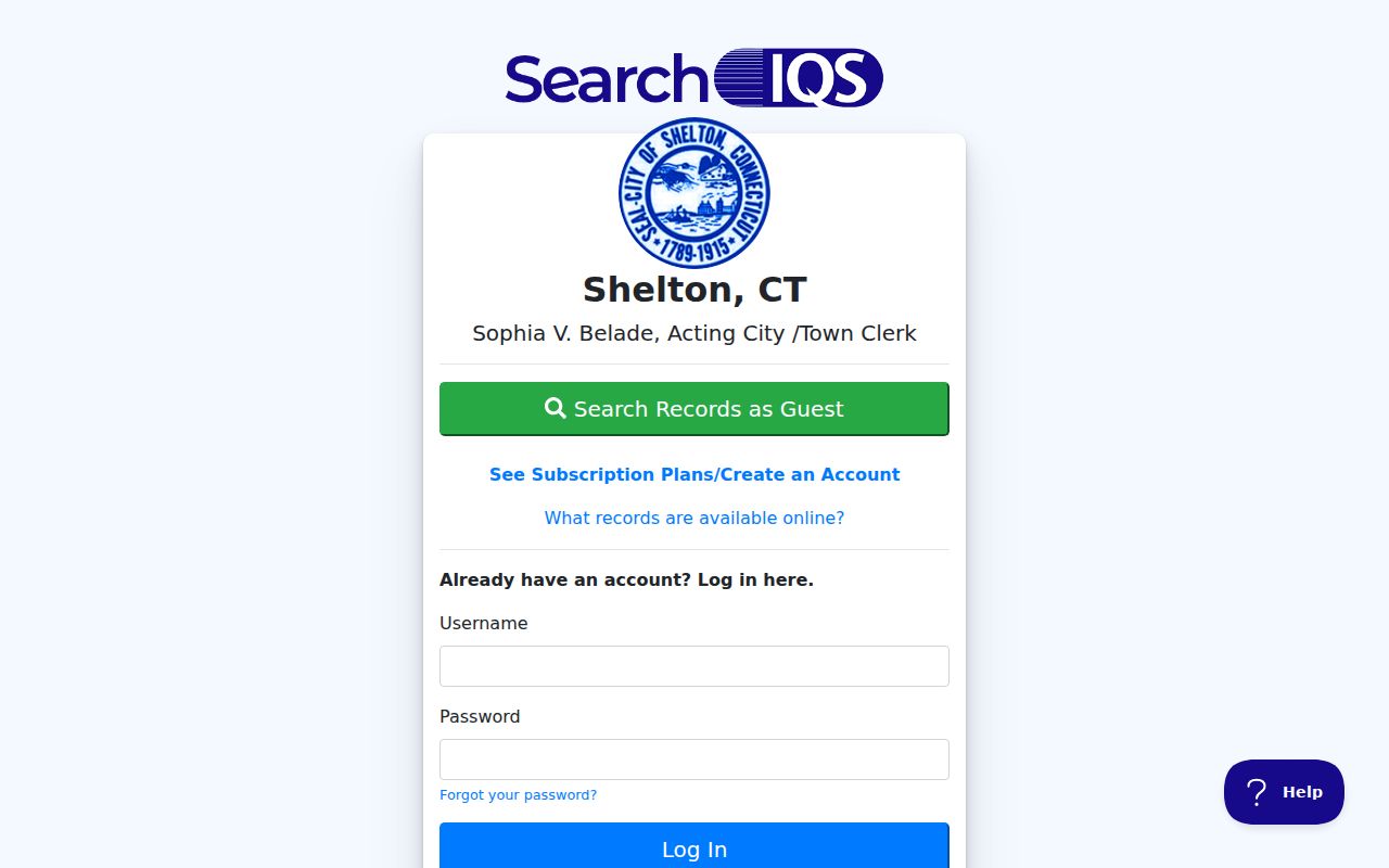
Search an owner as both grantor and grantee, retain the recording date and book/page or document number when shown, and follow the prior party through the legal description. The deed may involve a trust, estate, lender or corporation, so a recorded party is not automatically a past occupant. The historical half of a Shelton street directory needs that same source check. Ask the clerk for a certified copy when the image or index lead must be verified.
Shelton Street Permits Date Parcels
Permits add a project timeline to an address without turning the applicant into a resident. Shelton Engineering says online permits have been available since July 6, 2023, including street-excavation work in the city right of way. The city's permit categories also include sewer connections, driveway, sidewalk and curb work. A project location, approval step or final certificate can help explain why a parcel looks different in a later aerial or directory year.
The Shelton Engineering page is the official route for the department's instructions and access details. Its source image shows the city-facing channel that belongs beside the GIS and deed trail.
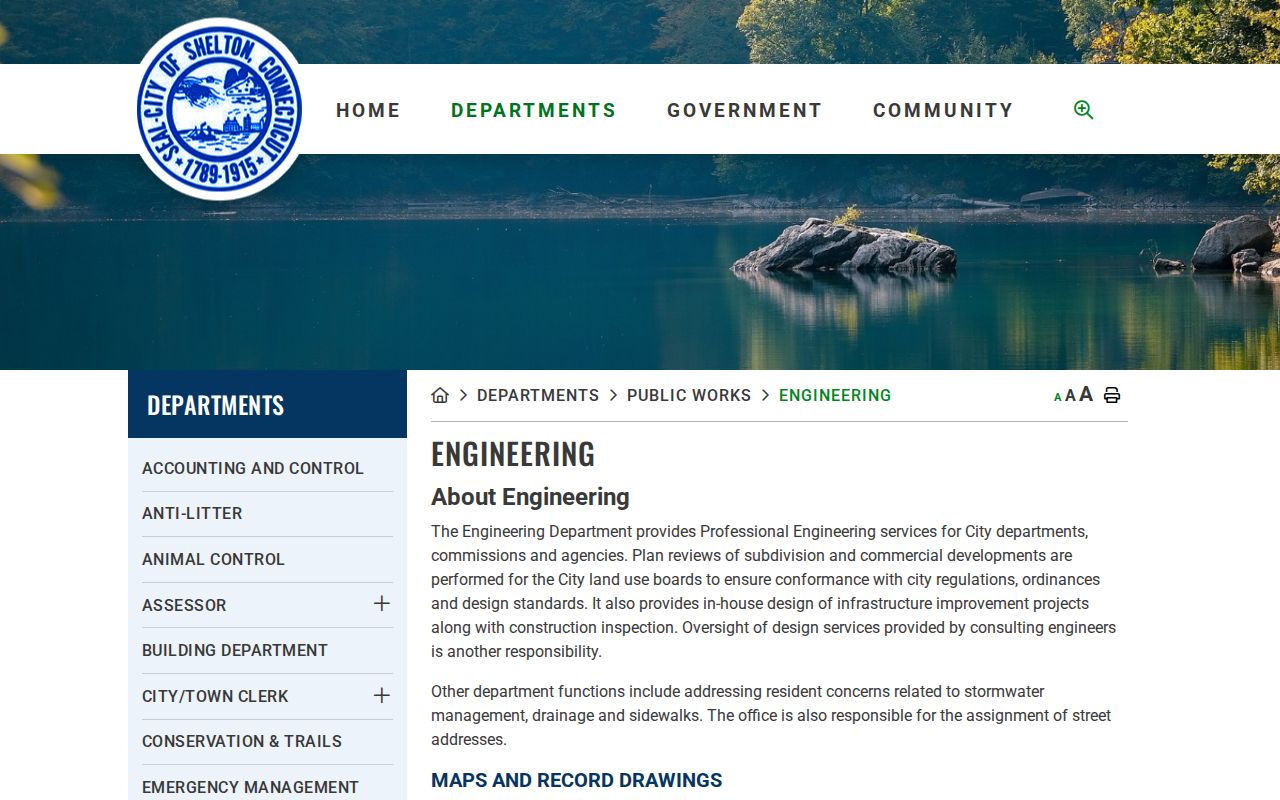
Keep the permit record in its own role. It can date an excavation, addition, demolition, sign, sewer connection or other public process, but it does not prove who occupied the parcel. When the public category page is not enough, a narrow request naming the address, record type and date range is more useful than an open-ended search.
Shelton Map Data and Street Search
Shelton's public GIS has a useful asymmetry. The MapXpress viewer offers a current parcel, owner and sales workflow, but the data-download notice says assessor data is not approved for public GIS distribution and directs data questions to the Assessor. That distinction matters when a street search needs a raw list or a historical export. Use the public map for a focused parcel question, then ask the office for the record or format it actually maintains.
The Shelton GIS downloads notice explains the public-data boundary and points to related state and university mapping resources. The source image captures that handoff between a public viewer and the assessor's custodian role.
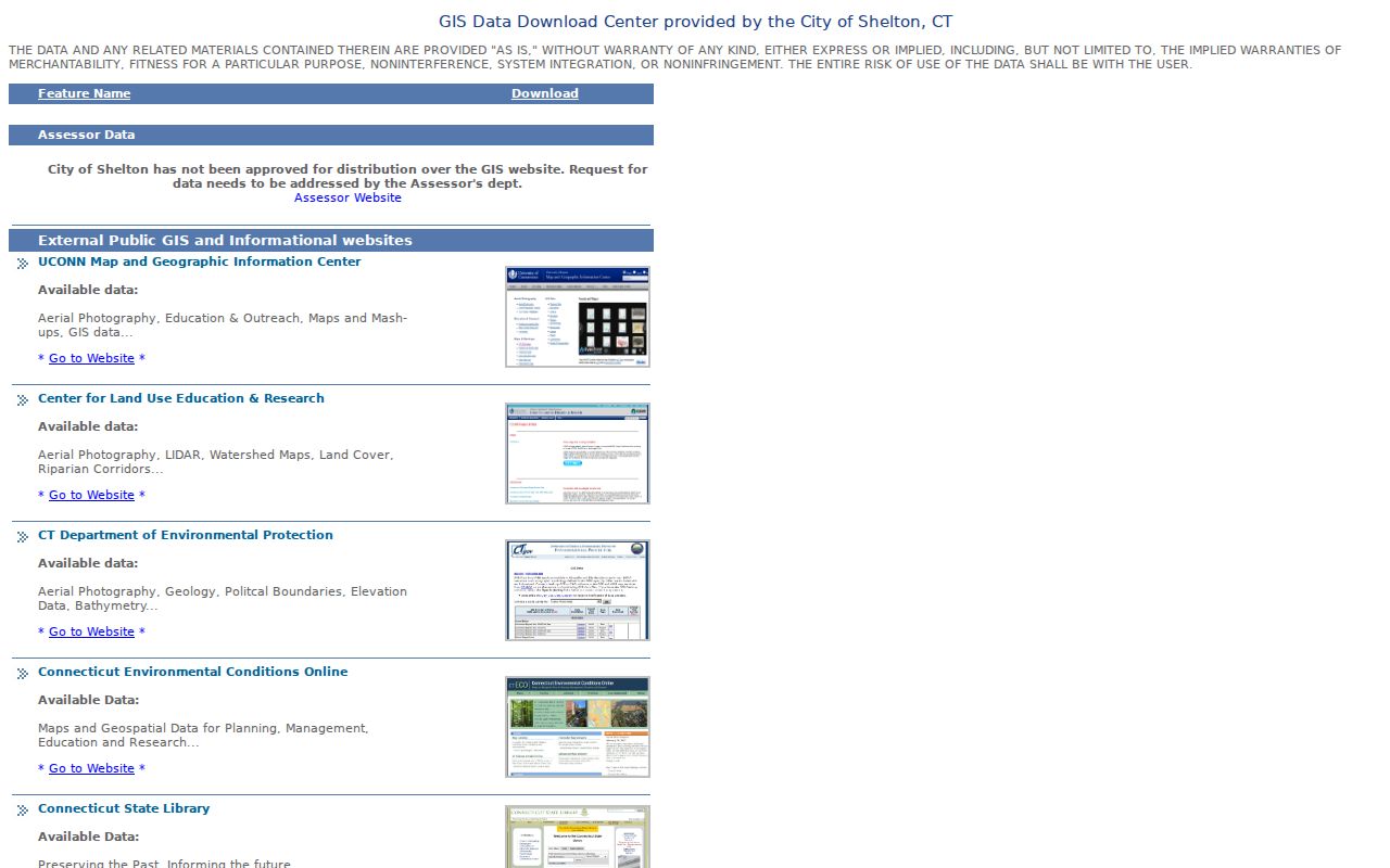
Shelton's current revaluation is effective October 1, 2025, and the assessor page says Municipal Valuation Services is assisting with inspections, sales review and final valuation. The January 2026 MapXpress parcel notice and nightly ownership or sales update should be saved with the search date. Those dates describe the source, not the age of every underlying deed.
Note: MapXpress is a strong address lead, while the Assessor and City/Town Clerk remain the offices for records that require official confirmation.
Shelton Building Records by Address
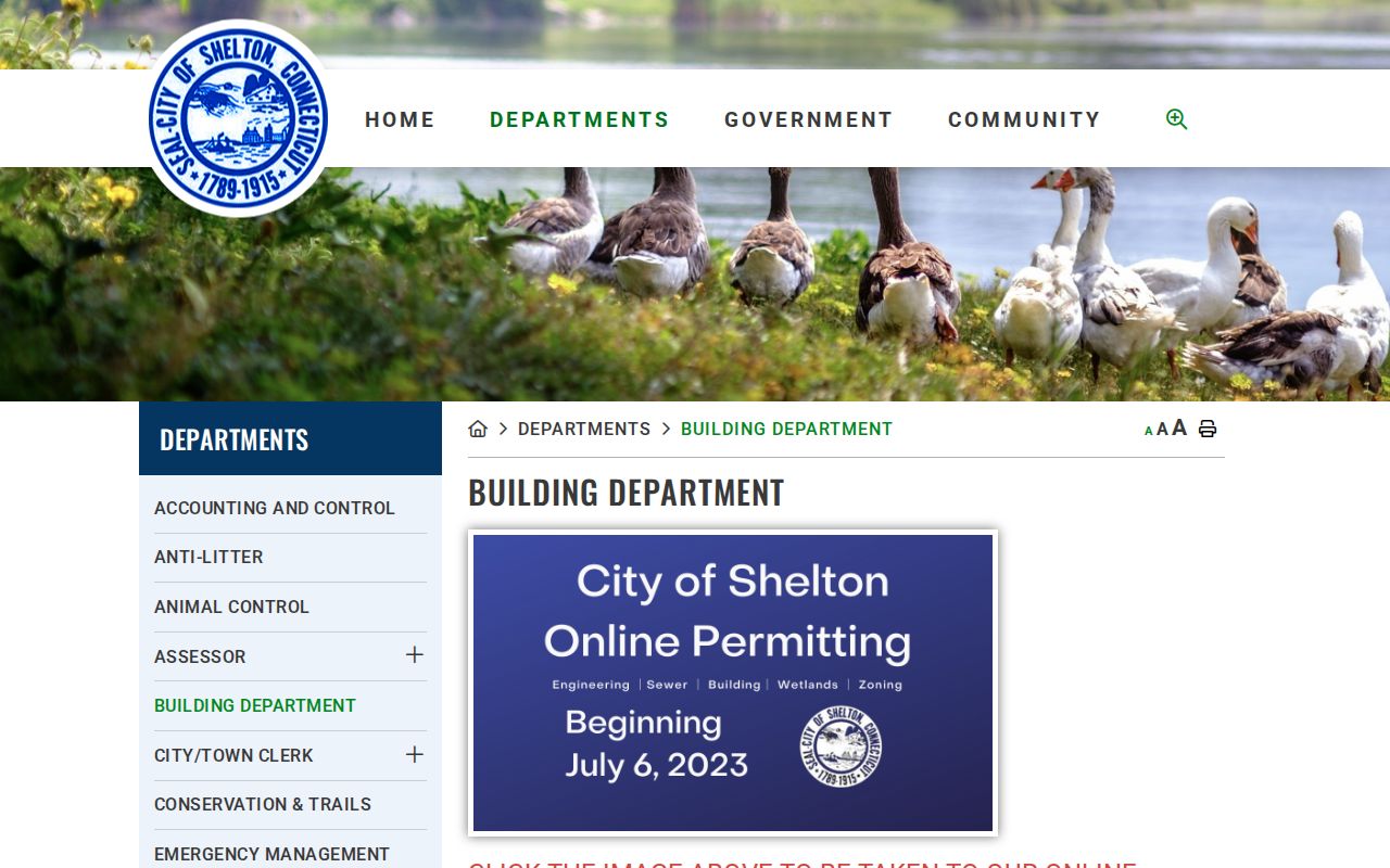
The Building Department provides another address-keyed lane. Its described work includes new homes, renovations, garages, solar, pools, sheds over 200 square feet, barns, commercial and industrial work, signs, roofs, windows, demolition, fences, walls and terraces over six feet. The sequence can involve a site plan, zoning review, an engineering street number, wetlands, a tree warden, contractor credentials and a final certificate. These checkpoints help explain parcel change, not household identity.
The Shelton Building Department is the official source for the permit and inspection workflow. Its source image gives the street search a department-level record path beyond the parcel card.
For a house-history question, pair a permit date with an aerial year, deed description or newspaper notice. If the public page does not expose a historical address index, request only the project type and date span tied to the parcel. A permit applicant, owner or contractor may have a different address from the site.
Shelton Online Permit Categories
Shelton's online permitting page organizes address-based applications for Building, Planning and Zoning, Sewer and Engineering. Categories include residential and commercial building permits, demolition, electrical, mechanical, plumbing and solar; business occupancy, home office, DBA or trade-name certificates and signs; sewer permits and benefit connections; excavation; zoning violations; blight; and residential certificates of occupancy. The categories show what kind of public department trail may exist for a street address.
The source image shows the municipal submission channel. Written permits are no longer used according to the city instructions. Applications go online to the relevant department, status updates arrive by email, and payment can be made online by card or by check at the office to avoid card fees.
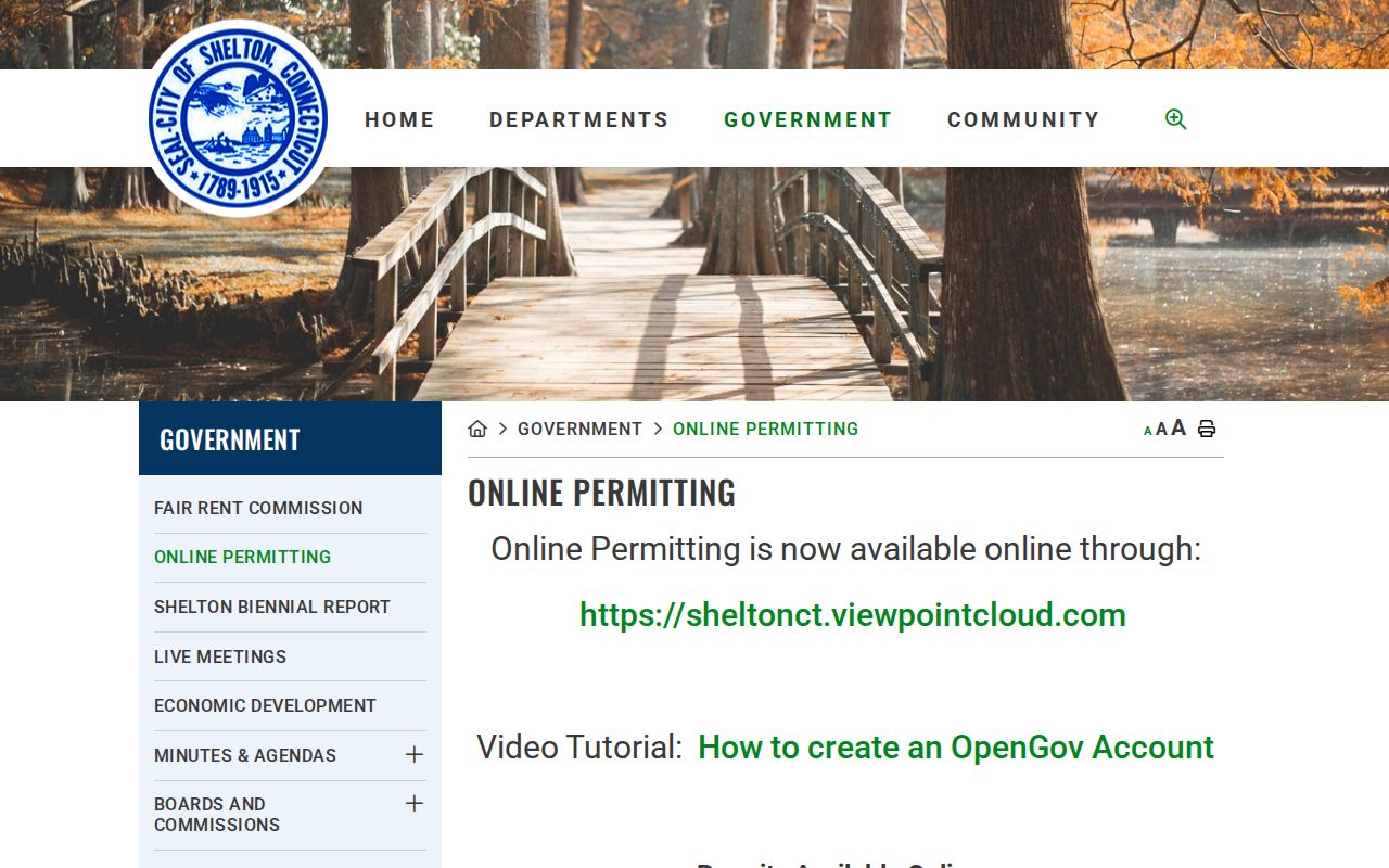
The live ViewPoint portal returned a 403 during inspection, so current fields, result pages and history depth remain a verification point. Use the city category page, the responsible department or a narrow Connecticut FOI Act request rather than claiming a complete public permit index.
Shelton Voter Clues Along Streets
The Shelton Registrar of Voters handles registration applications, annual canvass work, elections, primaries and referenda. The office is listed at the Richard O. Belden Cultural Center, 54 Grove Street, second floor, with public hours Tuesday and Wednesday from 8:00 a.m. to 3:00 p.m. and telephone 203-924-2533, Option 1. Shelton's four election districts use Elizabeth Shelton School, Shelton Intermediate School, Long Hill School and Mohegan School as listed polling locations. A district is election geography, not a list of everyone on a block.
Use the Shelton Registrar information and the Connecticut voter lookup for a narrow name-and-town lead. The public lookup form was not captured by the unattended inspection, and the state page distinguishes the official statewide registry from local registrar work. Current guidance limits public voter birth information to the year. A complete statewide file costs $300 and carries election-related, scholarly, journalistic, political or governmental use limits, so it is not a general private street directory.
When a registration question affects a safety concern, read the state voter privacy process before asking for a record. Do not infer a full household from one registration result, and do not turn an internal registrar street search into a public roster.
Huntington Labels in Shelton Street Records
Old Shelton street evidence can be filed under a different town name. The official Connecticut town history says Shelton was formerly Huntington, was incorporated from Stratford in January 1789, and was renamed by the General Assembly on April 15, 1919. The Connecticut State Library chronology places Fairfield County in the historical structure and says the town and city are coextensive. Different sources describe municipal dates with different emphasis, so keep the citation and wording with the record.
No complete Shelton street-renumbering or address crosswalk was located. For an older number, search Shelton, Huntington and Stratford, then use the legal description, map/lot, clerk map or nearby river, railroad and canal feature to test continuity. Derby Sanborn sheets from 1896, 1901, 1906 and 1912 include Shelton in their original-place notes, even though the map series is filed under Derby.
This local label issue is why a Shelton street directory should preserve the original source wording. Correcting Huntington to Shelton in a note may make a modern search easier, but deleting the historical label can make the record disappear from a catalog or index.
Shelton Street Directory Limits
A street directory can connect an address to an assessed owner, recorded land party, permit event, voter-registration clue or historical subscriber. It cannot promise a current list of everyone at the address. The owner may use a different mailing address. A deed party may be a trust, estate, lender or business. A directory subscriber may have moved, and an older numerical entry may omit other household members. Connecticut DMV address information is restricted under the federal DPPA, and utility or delivery customer lists were not located as public street sources.
Connecticut's Address Confidentiality Program and voter privacy process can shield safety-sensitive registration information. The Connecticut Data Privacy Act also does not act as a blanket deletion tool for valid municipal deeds, court dockets or voter records. Keep a request narrow, verify with the custodian, and avoid copying protected identifiers or compiling unrelated facts about people.
Lawful use. Shelton parcel and address records may support focused personal research, family history, civic review and personal safety awareness. Do not combine them to stalk, harass, intimidate or defeat a safety program; Connecticut Chapter 952 supplies the relevant anti-harassment and stalking rules.