
Shelton Neighbors By Block
A block search works when each source answers one small question. The Shelton GIS viewer shows which parcels touch an address. MapXpress and the assessor supply an owner or map/lot lead. SearchIQS and the City/Town Clerk add recorded land instruments. Voter, civic and historical sources may add a registration, meeting or past-household clue, but none is a complete list of current occupants. Fairfield County is the geographic county for Shelton, not an active county recorder or clerk, so the correct office depends on the record type.
| Source | What It Shows About a Block | Access |
|---|---|---|
| Shelton interactive GIS | Parcel edges, road frontage, adjacent map/lots, zoning, flood, wetlands, aerial and sales context | Free MapXpress viewer with Select, Print Map and View Legend |
| MapXpress property search | Owner-name lead, house number, street and map/lot for a selected parcel | Public search; ask the Shelton Assessor about official records |
| City/Town Clerk and SearchIQS | Recorded deeds, mortgages, liens, maps and grantor or grantee history | Online guest or account route, plus clerk inspection and copies |
| Shelton Registrars and SOTS | Town, district and limited voter-registration information near an address | State lookup and registrar channels, subject to privacy rules |
| City minutes and civic references | Public committees, meeting dates, project addresses and neighborhood names | Minutes/agendas and city Recreation material; no member roster found |
| Library and historical collections | Past households, street wording, newspapers, maps and community-history leads | Plumb or Huntington branches, Seymour microfilm and catalog research |
Recorded ownership is not the same as occupancy. A mailing address may sit outside Shelton, a deed may name a trust or estate, and a directory subscriber may have moved. Preserve the source date and the role of each name. That simple habit keeps a block note useful without turning it into an unsupported list of people.
Selecting Shelton Parcels
Begin with one known address and let the parcel boundary define the first ring of Shelton neighbors. Map geometry handles corner lots, rear parcels, water, rail lines and town edges better than a simple sequence of street numbers. The map is a research aid, not a certified survey, so write down what was visible and when it was viewed.
- Open the Shelton GIS viewer, search or pan to the starting address, and select the parcel if the Parcel Information tool is available.
- Record the selected map/lot, situs wording, road frontage and the adjacent polygons. Mark whether an edge is front, rear, side, corner, across a road or across water.
- Run each neighboring map/lot through MapXpress property search separately. Keep the owner lead and the mailing-versus-situs distinction.
- Confirm an important owner or transfer through the Shelton Assessor, City/Town Clerk or SearchIQS deed index, rather than treating the GIS label as a certified record.
- For the whole named street, continue with the Shelton street directory workflow. The block method should stay focused on the parcels immediately around the starting point.
The process also flags parcels that are common areas, utility corridors or town property. Those features belong in the block note as land context. They should not be forced into a person name merely because the polygon touches the starting parcel.
GIS Edges Around Shelton Neighbors
MapXpress layers can explain why two Shelton neighbors look different across records. Turn on zoning, Current FEMA Mapping, DEEP wetland soils, aquifer, hydrography, water-quality, natural-diversity and farmland-soils layers only after the parcel edge is saved. Contours from CT 2023 and aerials from 2006, 2013, 2016, 2019 and 2023 give a time check for roads, buildings and open land. Sales Information is grouped by grand-list year from GLY 2021 through GLY 2025.
Select, Print Map, View Legend and Simple, Path or Area Measure tools can make a repeatable research note. The viewer reports the CT State Plane NAD 1983 X,Y coordinate system. Print output remains map context, not a certified survey or proof of a household. When a corner parcel meets another road, water or town boundary, the polygon relationship should be named in plain terms.
Search the adjacent map/lot one at a time after viewing the edges. A single map label can be stale, and the live parcel card was not captured in the unattended inspection. The strongest neighbor result joins geometry, owner record, deed or assessor confirmation and a source date.
Note: GIS can show which parcels touch, but it cannot turn a shared boundary into proof that two households are next door.
Shelton Civic Names And Blocks
Shelton's community layer is useful but fragmented. The city Recreation page references White Hills Civic Club and Huntington Green, while city minutes and agendas can expose public committees, project addresses and meeting participants. The Historical Society and library add older neighborhood names, photographs, maps, obituaries and civic notices. No consolidated public neighborhood-association member directory was located, so the safe use is to search a name or place term in public material, not to promise a roster.
Older block references may use Huntington or Stratford. Shelton was incorporated from Stratford in January 1789 and renamed from Huntington in 1919, so a historic civic name can sit under a different town label than a modern parcel.
The Shelton Recreation page source image records the city's public community references used as place-name leads.
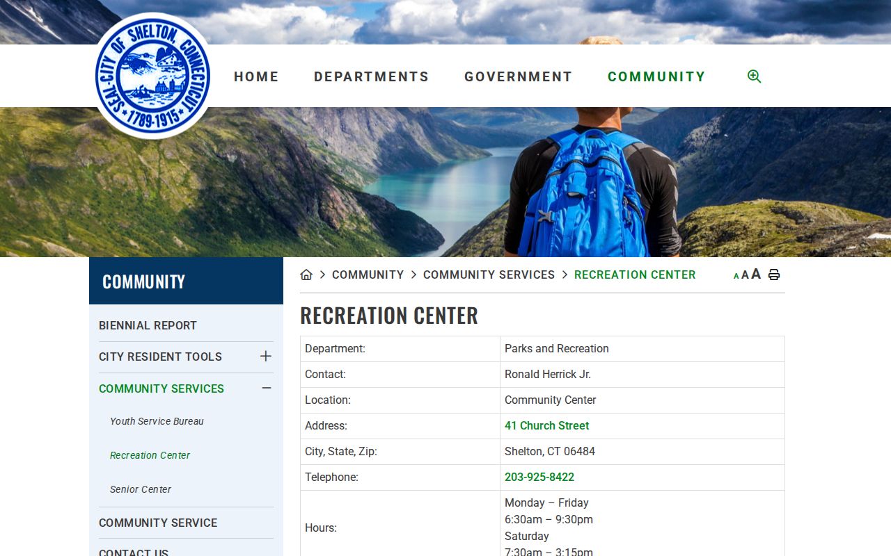
Those references can point a search toward White Hills or Huntington Green without implying a current membership list or household roster.
| Community or source | Useful block clue | Public route and limit |
|---|---|---|
| White Hills Civic Club | Community name, event or project context | City Recreation page; no current contact or member list found |
| Huntington Green | Neighborhood or place-name wording for address research | City Recreation reference; not a verified resident list |
| Shelton minutes and agendas | Public committee, meeting date and project address | Municipal minutes index; posted records vary |
| Shelton Historical Society | Maps, organizations, industry and neighborhood-history leads | 70 Ripton Road, research by appointment; holdings are not a member roster |
| Plumb and Huntington libraries | Newspaper notices, obituaries, street references and local-history help | Library service and microfilm access; exact obituary index not located |
| Registrar election districts | Official civic geography near a street | Four district and school-site names; a district is not an association |
These names can help reconnect a family, trace a public project or find the right historical keyword. They should not be used to infer membership, current occupancy or a private contact list.
Shelton Minutes For Block Clues
Public meeting records can put a block name or address into a civic timeline. Use the Shelton minutes and agendas index to look for committees, project sites, meeting dates and participants that are actually posted. A project address can explain a road, parcel or zoning question, while a participant name is only evidence of that meeting role.
The source image shows the municipal minutes channel used for a local block search.
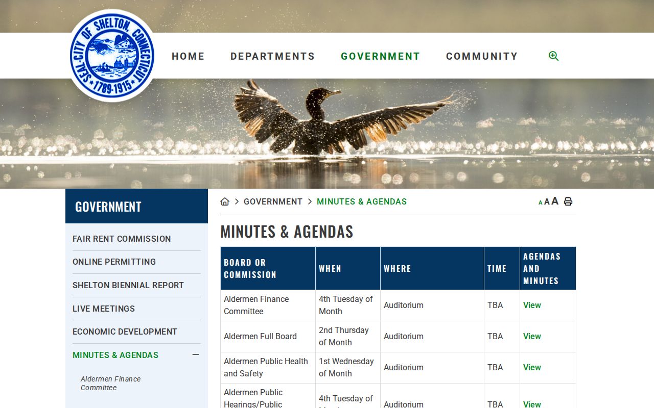
Save the meeting date, agenda or minute title, street wording and project context. The city did not publish a single association directory in the researched material, so public minutes are a lead to civic activity, not a substitute for a private membership list.
Shelton Voter Records Nearby
The Registrar of Voters can explain registration channels, annual canvass work and election geography around a Shelton address. The city lists four districts and identifies Elizabeth Shelton School, Shelton Intermediate School, Long Hill School and Mohegan School as polling locations. That district information helps place a block in civic geography, but it does not list everyone living nearby.
The official Shelton Registrar page lists the office at the Richard O. Belden Cultural Center, 54 Grove Street, second floor, with Tuesday and Wednesday public hours from 8:00 a.m. to 3:00 p.m. and telephone 203-924-2533, Option 1. The state lookup is the separate name-and-town route.
The source image provides the local registrar route.
Connecticut guidance limits public voter birth information to the year. A person may also use the state voter privacy process when disclosure would endanger the person or family. Keep the voter layer narrow and lawful, and never treat an internal registrar street search or a statewide file as a private block roster.
Tax Context For Shelton Neighbors
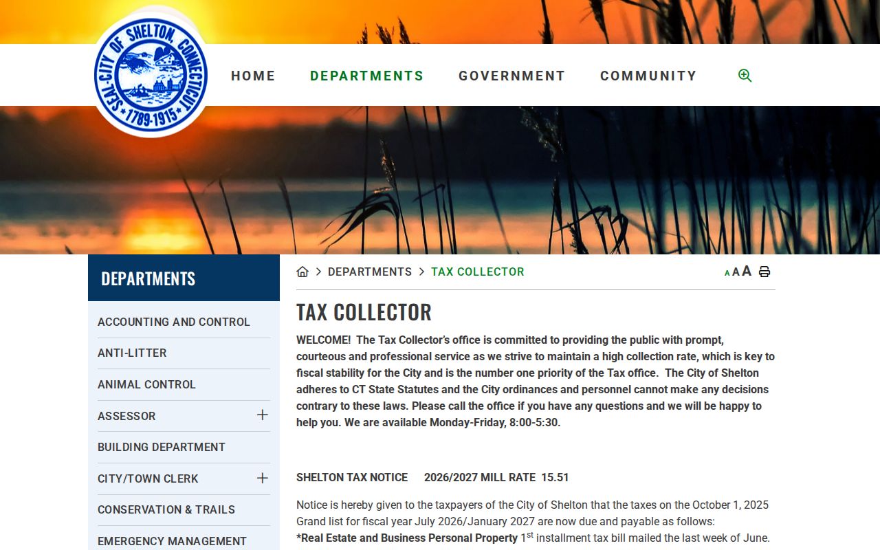
The Shelton Tax Collector adds billing context to a parcel question, not a current occupant list. The city page lists a 2026/27 mill rate of 15.51, says real-estate and business-personal-property bills are mailed in the last week of June, and directs online payments through myTaxBill. The office also lists check and cash payments, no credit cards at the counter, and a public computer.
Use the Shelton Tax Collector page for the office's current payment and delinquency instructions. The source image shows the municipal tax channel that can sit beside a parcel search.
Phone payment carries a $5 fixed fee plus convenience charges, and delinquent motor-vehicle payments have a separate DMV-clearance rule. Those details matter for a bill question, not for identifying a neighbor. The current tax portal search fields and result behavior were not exposed, so do not call myTaxBill a public owner directory.
Zoning Around Shelton Neighbors
Zoning and planning records can explain a change visible on a block. Shelton lists applications for dwellings, additions, pools, decks, sheds, business or industrial occupancy, filling and grading, special exceptions, planned development, site plans, subdivisions, text or map amendments, zoning compliance and violation complaints. The regulations were recodified in April 2024, and public access is arranged through the city department.
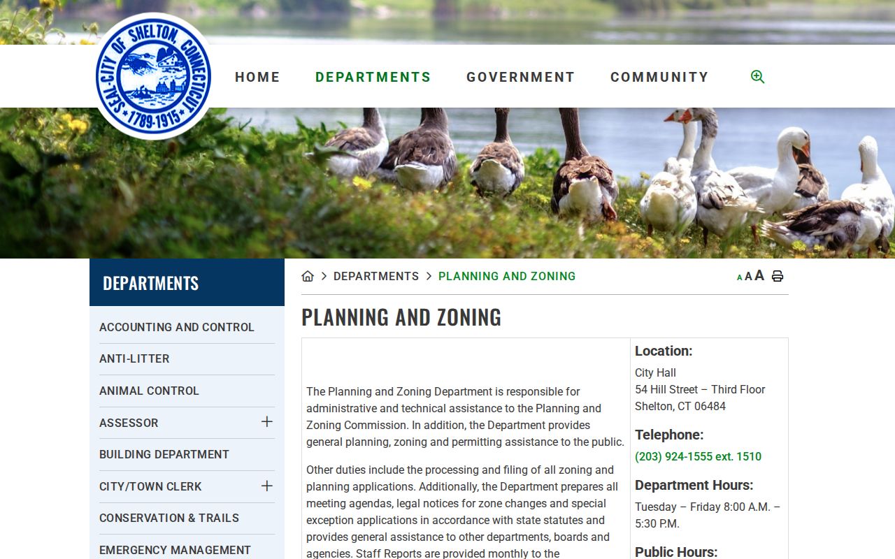
The Shelton Zoning and Planning page is the source route for applications, regulations and contact details. The source image shows the department path used to connect an address with a public project or land-use record.
The live ViewPoint portal returned a 403 during inspection, and a complete searchable case list was not located. Ask the responsible office for a narrow address and date range, or use a Connecticut FOI Act request that names the record type. A zoning application is evidence of a public process, not proof of who lives at the parcel.
Official Rolls Or Neighbor Tools
Official records and commercial neighbor tools serve different purposes. A local block question should start with the record keeper because the source role, date and access rule are visible. Broad commercial services may combine public data and older files, but their results can cost money, contain errors or repopulate after an opt-out. They are not a replacement for a Shelton deed, assessor record, voter custodian or public meeting file.
| Source category | Useful for | Limit to keep in view |
|---|---|---|
| Municipal and state records | Parcel geometry, recorded ownership, permit history, civic geography and narrowly defined registration questions | Each custodian covers a different fact; access, dates and privacy rules vary |
| Historical libraries and archives | Past households, street names, newspapers, maps, church and cemetery clues | Entries may identify subscribers or events, not every household member or a current occupant |
| Commercial neighbor tools | Broad name and address leads when a person has already been identified | Accuracy, cost, source date and removal persistence vary; verify with the official custodian |
For a block note, the official lane is more transparent: save the MapXpress source date, confirm each map/lot, then cite the deed, assessor, registrar, minutes or department record that supports the particular claim. A commercial result can suggest a follow-up, but it should not be copied as a verified Shelton neighbor record.
Privacy Around Shelton Neighbors
Public parcel data has firm boundaries. Household members, utility customers, delivery records and unrestricted DMV address data were not located as public neighbor layers. Connecticut's Address Confidentiality Program, known as Safe at Home, provides an approved substitute mailing address for qualifying safety situations. The program is separate from the voter privacy process, which can protect a voter-registration record when disclosure would endanger the voter or family. Neither process should be bypassed by joining map, deed and directory clues.
Connecticut's Data Privacy Act gives covered consumers rights in some data-processing settings, but it is not a blanket deletion mechanism for a valid municipal deed, court docket or voter record. The same privacy line protects Shelton neighbors from a compiled profile. The best response to a block question is to keep the scope small, cite the public record, avoid sensitive identifiers and stop when the record does not establish the fact being sought.
Lawful use. Shelton neighbor research is appropriate for getting to know a block, family history, civic review, reconnecting and personal safety awareness. Do not compile records to stalk, harass, intimidate or defeat a safety program; Connecticut Chapter 952 includes the relevant anti-harassment and stalking rules.